Status
Formal (Van Adrichem Boogaert & Kouwe 1995).
Lithological description
Succession of light- to dark-grey mudstones with frequent intercalations of coal seams and intervals of grey and buff, (sub-)angular, fairly- to poorly-sorted, very fine- to coarse-grained channel and sheet sandstones of 5 to 15 m thick. Fining- as well as coarsening-upward trends are common. The dark mudstones can contain a fresh- or brackish-water fossil assemblage.
Depositional setting
Alternation of lacustrine, swamp and flood-plain deposits. Sandstones deposited as low- and high-sinuosity fluvial channel fills, associated overbank deposits and lacustrine deltas.
Definition of lower boundary
Boundary with the Maurits Formation is situated at the base of the lowermost massive sandstone bed which has a thickness of several metres. The interval of the Maurits Formation underlying this member can be referred to informally as the main Maurits member (DCCUM).
Definition of upper boundary
Unconformably covered by the Chalk Group in the type well, but it can be succeeded conformably by the massive sandstones of the Neeroeteren Formation.
Geographical distribution
Age
Latest Bashkirian - Moscovian.
Holostratotype
Depth (thickness) AH:
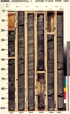
B60C2126 (Kemperkoul-01)
498 - 935 m (437 m)
Origin of name
Named after the village of Kemperkoul in the south of the province of Limburg.
Previous name(s)
The member correlates with the upper part of the Productive Measures (DCCP) and the lower part of the Tubbergen Sandstone Formation (DCCT) of NAM & RGD (1980).
References
Van Adrichem Boogaert, H.A. & Kouwe, W.F.P. 1995. Stratigraphic nomenclature of The Netherlands, revision and update by RGD and NOGEPA, Section C, Silesian. Mededelingen Rijks Geologische Dienst, 50, 1-40.
NAM & RGD 1980. Stratigraphic nomenclature of The Netherlands. Verhandelingen van het Koninklijk Nederlands Geologisch Mijnbouwkundig Genootschap 32, 77 p.
Cite as
TNO-GDN ([YEAR]). Kemperkoul Member. In: Stratigraphic Nomenclature of the Netherlands, TNO – Geological Survey of the Netherlands. Accessed on [DATE] from http://acc.dinoloket.nl/en/stratigraphic-nomenclature/kemperkoul-member.