Code
KNNSH
Status
Formal (Van Adrichem Boogaert & Kouwe 1993).
Lithological description
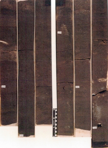
Quartz-rich sandstones with minor marine and lagoonal claystone intercalations.
Depositional setting
Deposited in a shallow-marine, littoral facies. Amalgamated beach bars were formed in a wave-dominated environment.
Definition of lower boundary
Stratigraphically rests on the Helm Member in the centre of the Broad Fourteens Basin. Unconformably covers older Mesozoic to Palaeozoic strata at the basin margins.
Definition of upper boundary
In general overlain by the Vlieland Claystone Formation.
Thickness indication
Up to 220 m.
Geographical distribution

Regional correlation
UK: Valhall Formation; Ger: ~Minden-Braunschweig-Gruppe; BEL: -.
Age
Valanginian.
Holostratotype
Depth (thickness) AH:
1412 - 1547 m (135 m)
Parastratotype
Well:
Depth (thickness) AH:
1275 - 1347 m (72 m)
Origin of name
Named after the Helder oil field, Block Q01, Dutch off-shore sector.
Previous name(s)
None.
Reviewed by (date)
Sander Houben (2017).
References
Van Adrichem Boogaert, H.A. & Kouwe, W.F.P. 1993. Stratigraphic nomenclature of The Netherlands; revision and update by RGD and NOGEPA, Section G, Upper Jurassic and Lower Cretaceous. Mededelingen Rijks Geologische Dienst, 50, 1-80..
Cite as
TNO-GDN ([YEAR]). Helder Member. In: Stratigraphic Nomenclature of the Netherlands, TNO – Geological Survey of the Netherlands. Accessed on [DATE] from http://acc.dinoloket.nl/en/stratigraphic-nomenclature/helder-member.